How are golf courses mapped for GPS devices?
Last updated:
Ever wondered how to map a course? SkyCaddie’s Steve Winstone has the answer
As far as jobs go, spending your days roaming the world’s top courses sounds like the best thing ever. But unlike most golfers, Steve Winstone never gets the chance to play them. He maps them instead.
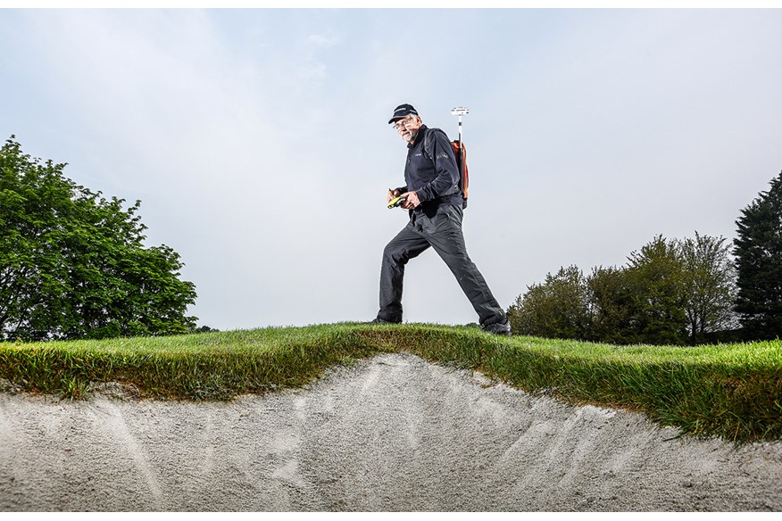
Known to clubs as SkyCaddieSteve, he heads up a team of enablers who visit new, old and soon-to-be opened courses and walk every yard of every hole. Rather than using drones or satellites, SkyCaddie demands that everything is done at the course, so every tee, carry, fairway, bunker, lay-up point, hazard, target and green is displayed as accurately as possible on a SkyCaddie device.
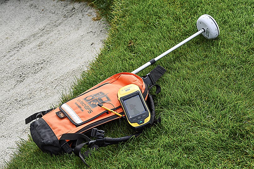
“There are no shortcuts,” says Winstone, who is SkyCaddie’s course enablement manager for Europe, Africa and the Middle East. “What we do guarantees you get an accurate yardage all the time, every time. We might drive hundreds of miles, just to update one bunker, but it’s important and it’s got to be done.”
When a golf course makes a change, it is Winstone’s job to go back, walk the course again, and upload an updated map.
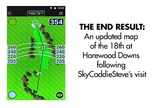
When we meet him at 9am, he’s nearly finished plotting the changes at Harewood Downs in Buckinghamshire. He’s been up since the crack of dawn, and plans to be in Norwich by mid-afternoon. By the end of next week, he’ll be in France mapping more courses before jetting off to Germany to do the same.
“I’ll be in Dubai later in the year as well,” he adds. “There are two new courses over there which need to be done. Golfers are travellers so when they go somewhere, we’ve got to make sure they have access to maps.”
It does mean Winstone and his team of six can spend weeks, sometimes months, on the road and living out of suitcases. In April, he spent every day in Scotland, starting off in Aberdeen and stopping off at places like Kingsbarns, Carnoustie, and Monifieth.
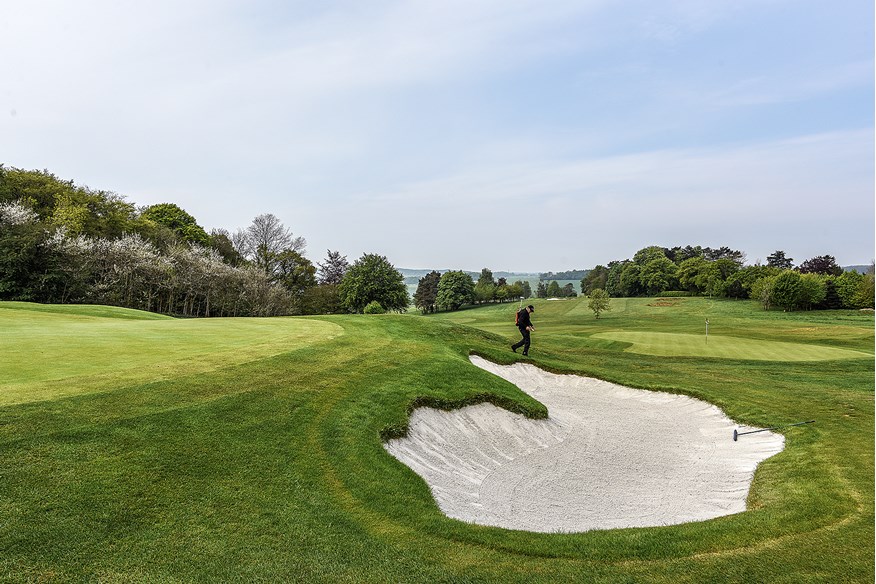
“I went to that many golf courses that those are the only ones I can remember,” jokes Winstone. “Only two things ever stop me from mapping courses: Thunder and lightning, and snow because I can’t see what’s underneath me. People ask me how many courses I visit in a year and I actually couldn’t tell you. I’d estimate that, as a team, we visit 10 per cent of the courses in the UK, just carrying out our updates.”
To save time and money, Winstone tries to group visits together and will contact clubs within a 30-mile radius of each other to see if they’re making, or have made, any changes.
“That’s why I’m big on Twitter and Facebook,” explains Winstone. “Once I hear about a course making changes, I’ll write to other courses nearby or tweet them to find out what’s happening. Some of them never get back to me, which is why I’m constantly putting messages out on social media, asking members or club pros to get in touch.
“Too many places wait until changes are in play, and then expect me to come tomorrow and do the updates. But I need to know when they’re starting them, or when I can walk around the holes so I can make travel plans.”
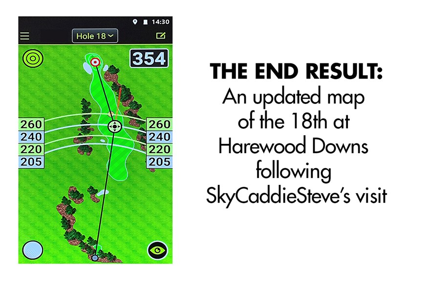
In some cases, working out the logistics can take longer than mapping certain courses. A small update can take less than 15 minutes, according to Winstone, while it can take between eight and nine hours to physically walk, map and record every possible target that might come into play on a new course. It’s a never-ending job, he admits, and all the more frustrating when he sees the number of golfers who continue to rely on guesswork when a SkyCaddie device could be helping them save time and shots.
“I see it so many times, people finding a fairway bunker which they didn’t know was there, or because they didn’t think they could reach it,” he says.
“They could make things so much easier for themselves if they bought a SkyCaddie and paid less than £30 a year to use the technology. We give them all the information they need – be it carry distances or how far it is to a tree or marker post – so they can make informed, accurate decisions.”
Three men who don’t need convincing are Ian Woosnam, Paul Eales and Peter Baker, who all use a SkyCaddie SX500 on the Staysure Tour. More pros are expected to follow suit and since The R&A have changed the rules to permit DMD devices in competitions, you might be wise to invest in one as well.
Top Five GPS Handhelds
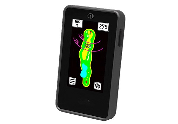
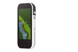
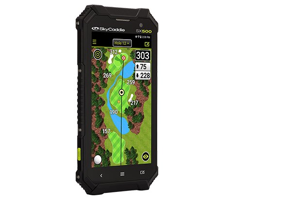
SkyCaddie SX500: £379.95
The unit that’s convincing pros on the Staysure Tour to ditch their yardage books and rangefinders in favour of GPS. We love how the SX500 shows how much space there is in front and behind the flag, as well as to both sides of the green. Drag the cursor to any point on a hole and it automatically calculates how far that point is from you and what’s left into the green.
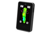
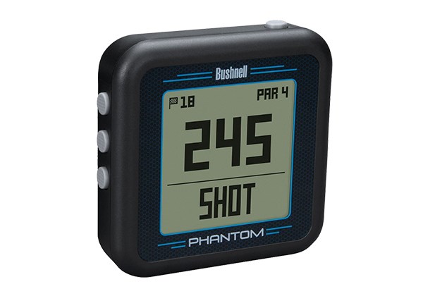
Bushnell Phantom: £99
A micro GPS with a big screen to simply give the information many club golfers really want. Front, centre and back and four hazards per hole are the extent of the yardage help the Phantom offers, but often it’s all regular golfers need. Simple, straightforward and brilliant value for less than £100.
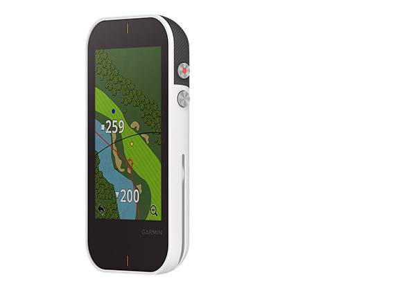
Garmin Approach G80: £449.99
The GPS that thinks it’s a launch monitor. Everything you’d expect from a top GPS handheld, but can transform into a launch monitor, too. Prop the unit up on a golf ball, switch to radar mode and the G80 will measure club speed, ball speed and smash factor and calculate carry distance. Garmin say it’s accurate to 2mph and five yards of carry distance.
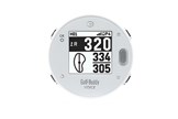
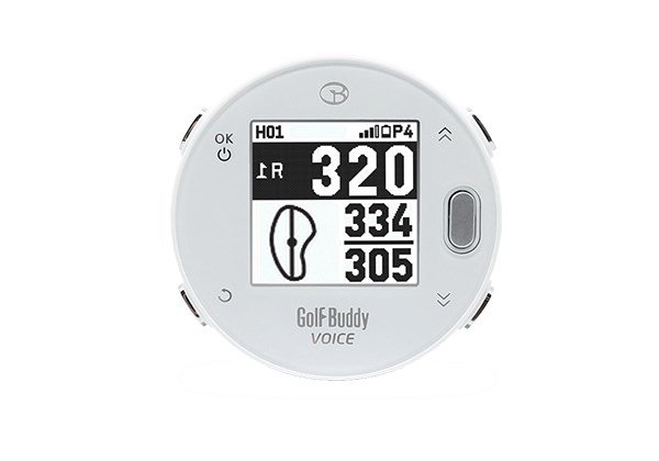
GolfBuddy Voice X: £159.99
A Gold Award winner in our TG Awards last year, the VTX is a powerful GPS. Rammed full of features, we particularly like the size – big enough to get the information you need, yet small enough to tuck into a pocket. The full colour touch screen is great, as is a 15-hour charge time, which will see you through more than a single round.
Golf Buddy VTX: £269.99
A micro GPS handheld that’s brilliant for golfers who don’t like playing while wearing a watch. The Voice X relays yardages just like a car’s satellite navigation system, while displaying distances on the LCD screen, too. A handy clip on the back means it can be attached to a belt, cap or bag.
